
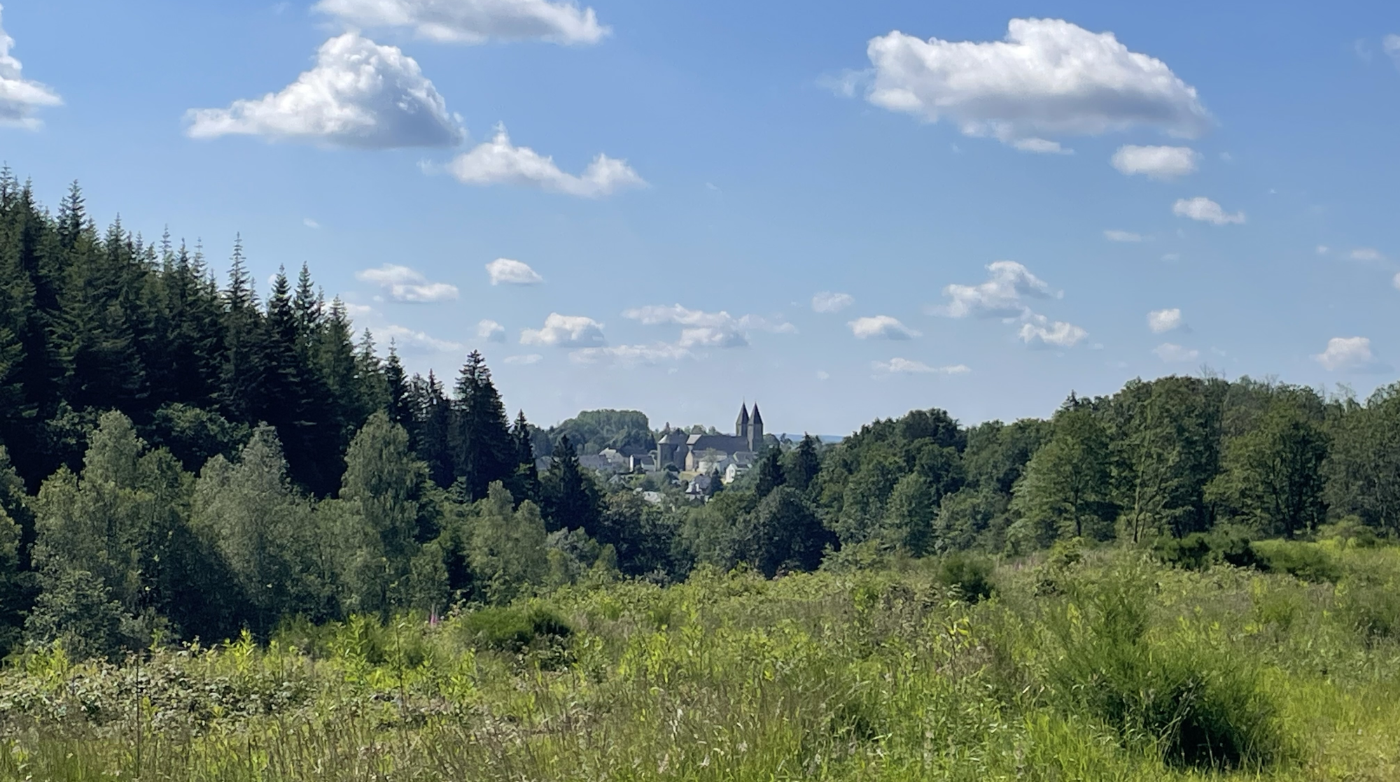
For this 4th edition, the routes have been revised while maintaining the essence of the event, with its beautiful landscapes of the Attert valley and the Grand Duchy of Luxembourg.
6 routes are offered, ranging from 45 to 200 km, with some challenging climbs, but also simplified routes for the shorter distances. And, as always, amazing feed stations that are always a hit!
Come once again to challenge Thibaut Pinot and try to take his KOM. Prepare to be blown away by the incredible landscapes (and also maybe a little by the burn in your legs)...
This is THE ride to do this May!
Price : €6 to €9 depending on the route (1.5€ reduction for FFBC/FCWB affiliates)
GPX will be downloadable the week before the event. The following routes may undergo minor changes
The routes
46 km 580 m D+ 7h30 → 10h30 Difficulty: 2 out of 5
Feed station: km 23
La vallée de l'Attert
Le clocher, au loin
87 km 1 275 m D+ 7h30 → 9h30 Difficulty: 3 out of 5
It remains very accessible, without any major difficulties.
However, you'll still get a good workout with the region's natural rolling hills
Feed stations: km 23 and 59
La vallée de l'Attert
Le clocher, au loin
Le peloton du dimanche
128 km 1 850 m D+ 7h30 → 8h30 Difficulty: 3 out of 5
It will be the final major challenge after passing through Post and Lannenerbierg!
On the way back, the Wark cycle path will allow you to recover while enjoying a stunning natural landscape!
Feed stations: km 28, 55 and 101
La vallée de l'Attert
La vallée de la Sûre
La Haute-Sûre
Esch-sur-Sûre
144 km 2 140 m D+ 7h00 → 8h00 Difficulty: 4 out of 5
In addition to the Wark cycle path mentioned above, you’ll also enjoy the Bourscheid path. Perhaps you'll catch a glimpse of the castle around a bend?
Feed stations: km 28, 55 and 123
La vallée de la Sûre
La Haute-Sûre
Esch-sur-Sûre
Vers Bourscheid
Le château de Bourscheid
200 km 3 570 m D+ 7h00 → 8h00 Difficulty: 5 out of 5 GPX only
This route is not signposted: follow it by GPS.
Explore the valleys of Haute-Sûre and Our. On the summits, enjoy breathtaking views before plunging back into the valley floor, where more postcard-like landscapes await...
Note: Once you reach Esch/Sûre, the loop will only be available as a GPX file on this route before continuing the trail.
Feed stations: km 28, 55, 109 and 177
La vallée de la Sûre
La Haute-Sûre
Esch-sur-Sûre
Vers Bourscheid
Le château de Bourscheid
Welscheid, au petit matin
La vallée de la Wark
39 km 560 m D+ 7h30 → 10h30 GPX only
This route is not signposted: follow it by GPS.
With its 39 km and 560 m of elevation gain, this hilly course features a series of rhythmic climbs, dynamic accelerations, and a few steeper ascents that will require careful pacing. Nothing endless, but playful enough to keep you smiling… and feel your legs working. Farm tracks, forest sections, and beautiful gravel sections follow one another in an authentic natural setting. We ride, we encourage each other, we take advantage of the flatter sections to catch up before tackling the hills again. A wonderful discovery between the Attert Valley and the Anlier Forest.
A sporty, immersive, and friendly course — The Habaysienne Classic: ride far, breathe deeply, feel the gravel. 🚴🌿
La vallée de l'Attert
55 km 780 m D+ 7h30 → 10h00 GPX only
This route is not signposted: follow it by GPS.
With 55 km and nearly 800 m of elevation gain, the route features a mix of steady climbs, steeper hills, and rhythmic accelerations. The effort builds gradually: you'll need to pace yourself, find your rhythm, and conserve energy for later.
Forest paths, farm tracks, and beautiful rolling sections alternate in a pristine natural environment, offering both intensity and respite. The course remains fluid, varied, and consistently engaging.
A sporty, immersive, and authentic route — L’Habaysienne Classic: ride far, breathe deeply, feel the gravel vibe. 🚴🌿
Le clocher, au loin
Le peloton du dimanche
81 km 1 200 m D+ 7h30 → 9h30 GPX only
This route is not signposted: follow it by GPS.
With 81 km and 1,200 m of elevation gain, the terrain becomes more challenging and the transitions more demanding. Long, steady climbs encourage you to find your rhythm, while the more dynamic hills test your endurance. Here, pacing yourself is key.
The route winds through deep forests, farm tracks, and wilder gravel sections, offering total immersion in the heart of unspoiled nature. The smoother sections allow you to pick up the pace before plunging back into the hills.
A sporty, intense, and inspiring course — The Habaysienne Classic: ride far, breathe deeply, feel the gravel. 🚴🌿
La vallée de la Sûre
La Haute-Sûre
Esch-sur-Sûre
100 km 1 600 m D+ 7h30 → 8h30 GPX only
This route is not signposted: follow it by GPS.
Here, the terrain is constantly undulating: a succession of playful climbs, rolling ridges, and fast descents that reignite the passion with every kilometer.
With its 1,670 meters of elevation gain, the course demands pacing and commitment, but rewards every effort with forest sections and panoramas typical of our beautiful region.
A lively, varied, sporty, and deeply natural route.
A 100 km ride that leaves its mark on your legs… and a huge smile at the finish line.
The Habaysienne Classic: ride far, breathe deeply, feel the gravel vibe. 🚴🌿
Esch-sur-Sûre
Vers Bourscheid
Le château de Bourscheid
Welscheid, au petit matin
116 km 1 770 m D+ 7h00 → 8h00 GPX only
This route is not signposted: follow it by GPS.
The 116 km route is the long, intense, and deeply immersive version of the Habaysienne.
A demanding and magnificent course, where the kilometers unfold one after another between forests, open ridges, and valleys typical of the region.
With its 1,770 meters of elevation gain, the course demands pace and pacing. The climbs pile up, the accelerations come one after another, and each summit offers that unique feeling of being far away… truly far away. Technical in places, fast in others, always varied, this long course is a complete adventure: physical, mental, and resolutely in nature.
A challenge that builds with each kilometer… and is fully savored at the finish line.
The Habaysienne Classic: ride far, breathe deeply, feel the gravel. 🚴️🌿
La Haute-Sûre
Esch-sur-Sûre
Vers Bourscheid
Le château de Bourscheid
Welscheid, au petit matin